Willow River Water Trail Map
Access Points
County. Rd T
160th St. Bridge
Mary Park
Downtown New Richmond: Mill Pond
Nature Center
100th St Bridge
County E Bridge
County I Bridge
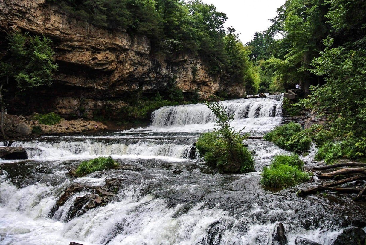
Willow River State Park
Lake Mallalieu
To check the water level of the river, please click here to visit the United States Geological Survey (USGS) website.
Routes Information
Rent a kayak or canoe through Willow Kayaks or bring your own boat for a quick paddle or a full day on the water. Willow Kayaks also provides shuttling services.
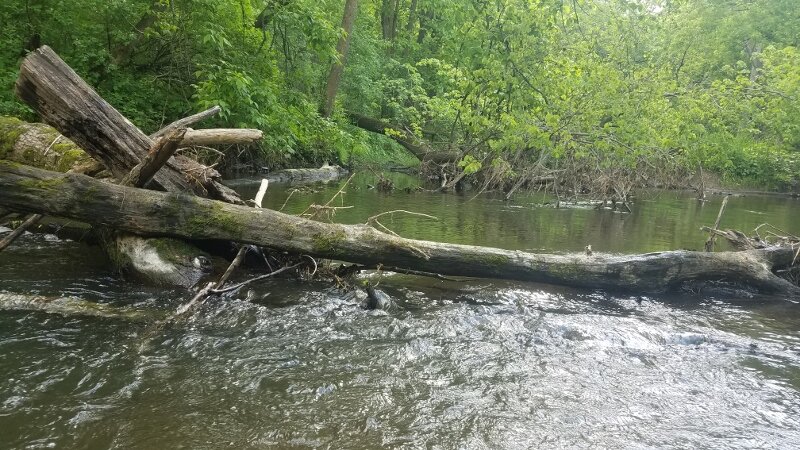
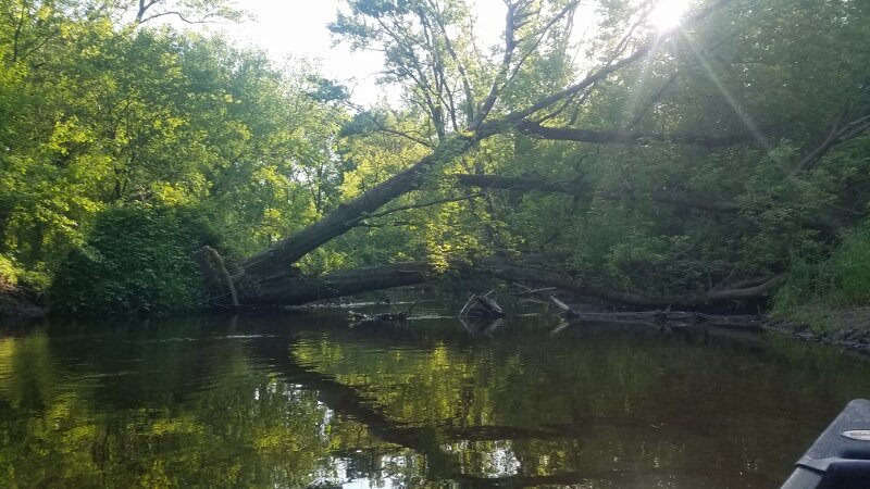
There are routes for novice paddlers (green), intermediate paddlers (yellow), intermediate + (orange), and advanced paddlers (red). Novice routes are great for new paddlers, families, and anyone looking to get on the river to float and relax. Intermediate routes are for people who have paddled before and are comfortable maneuvering around small obstacles like rocks and strainers (branches hanging over the side of the river). Intermediate sections may have riffles and small manageable rapids, depending on water level. Intermediate +, sections that includes multiple obstructions in the river that include portages and down trees to navigate around and over. Advanced routes are for paddlers with experience navigating Class II and III whitewater sets. Kayaks and Canoe’s under 16’ are recommended all routes.
Important:
The Willow River Water Trail is a work in progress. While it is possible to paddle the entire river, the routes below are maintained for a safe and fun adventure on the water.
There are three dams on the Willow River (marked with a red triangle on the map). Be sure to research your route before getting on the water and always keep an eye out for dams or other obstacles.
Depending on your route, you may be paddling through private property. Be sure to read about safety and etiquette on the Willow River before starting your adventure.